In September 2015, I travelled for the first time to Basel, Switzerland, for a job interview. I arrived the day before and, despite the jet lag, decided to make use of the few hours I had to explore the city. Since the company paid for my flight and accommodation, I had to return to Singapore on the evening of the interview day.
I went to see the Basel Münster and remember standing on Münsterplatz, walking on the cobbled stones, taking photos of the old buildings with their green and maroon windows. I had a feeling it would be a nice place to live, and that I should do well in the interview the next day.
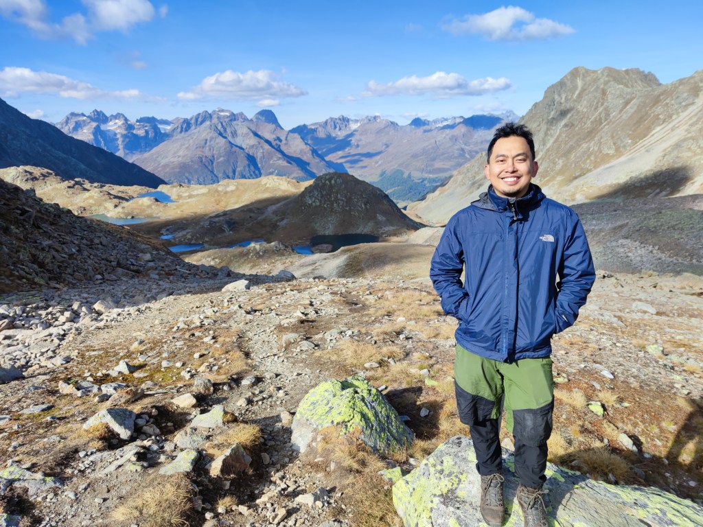
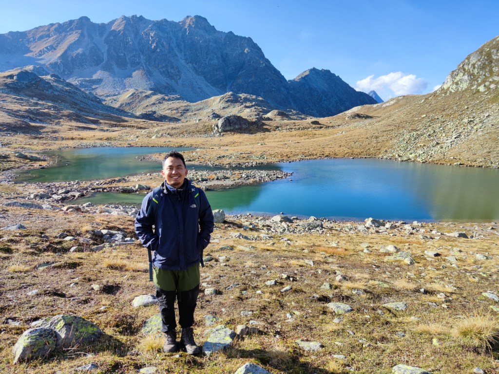
After ten years of living in Basel, I would still agree with my earlier self. With around 180,000 people, it is a relatively small city compared to those known even outside Europe. Basel is small, but it is sufficient. There is no wild nightlife, but at this stage in my life—and to be honest, at any stage in my life—that doesn’t really matter. Basel, in my humble opinion, has everything one needs for a good quality of city life—well, at least mine.
In my part of town, the Rhine provides an almost car-free third place to enjoy nice weather. In summer, it turns into a concrete beach where locals walk around, sometimes in their swimming attire, carrying colourful fish-shaped bags. With my current skills, Rhine swimming is sadly an activity I have yet to try. I do, however, look forward to hanging out by the river on a sunny summer evening after work, enjoying a can of Appenzeller Ginger Beer. When it gets warmer, small buvettes pop up selling drinks and light snacks.
Fasnacht in winter, Herbstmesse in autumn, and the Christmas Market in December are key events I try not to miss every year. One could write several articles about Fasnacht alone. For me, it is the three days a year when the whole city turns into one living, moving, breathing artwork. The costumes, artistry, and stamina of the people during Fasnacht never fail to fascinate me. Fasnacht is chaos at its most beautiful.
For a normal human being who works five days a week, the part I miss most when I travel is how walkable Basel is. One could walk for hours along the Wiese or the Rhine, through the streets of Gellert or within the old town, without having to stress about cars. This also means that when you go for a walk or a run, you breathe mostly unpolluted air. Petty crime does exist, but it is generally low, which gives you peace of mind when you are out and about, even at the wee hours of the night.
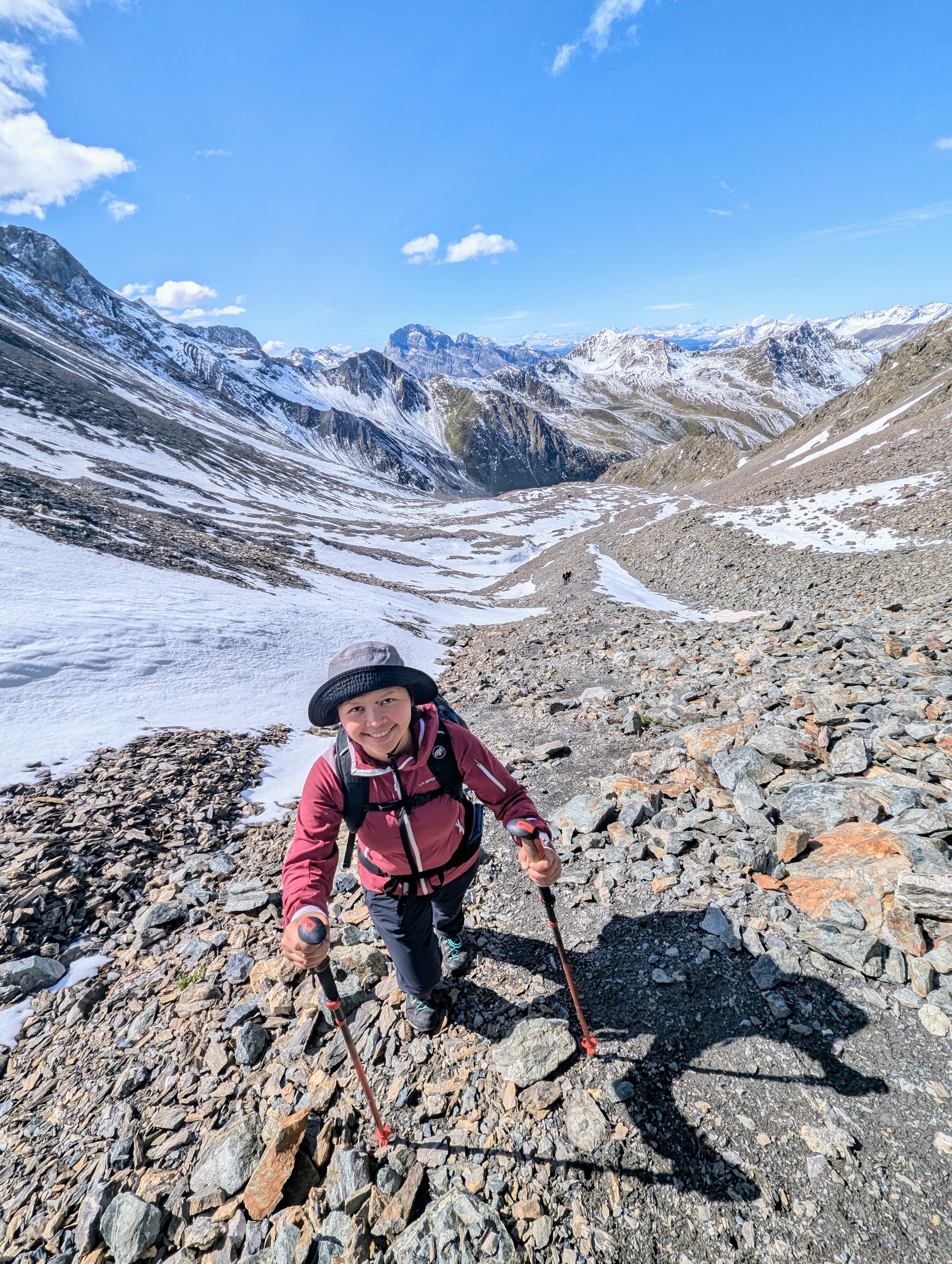
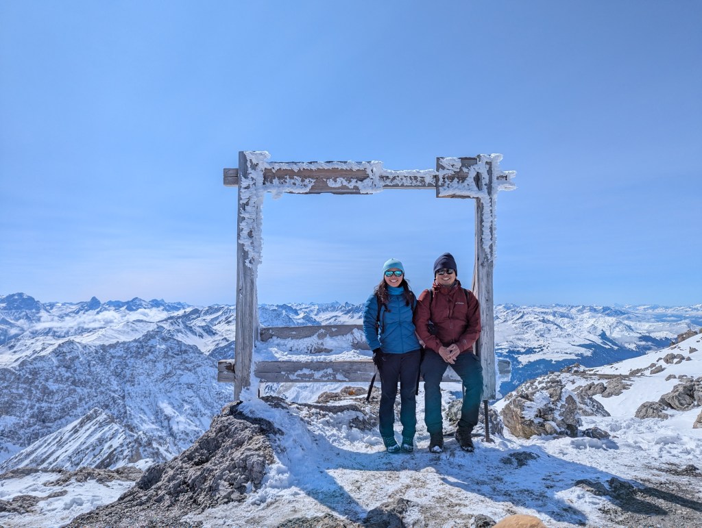
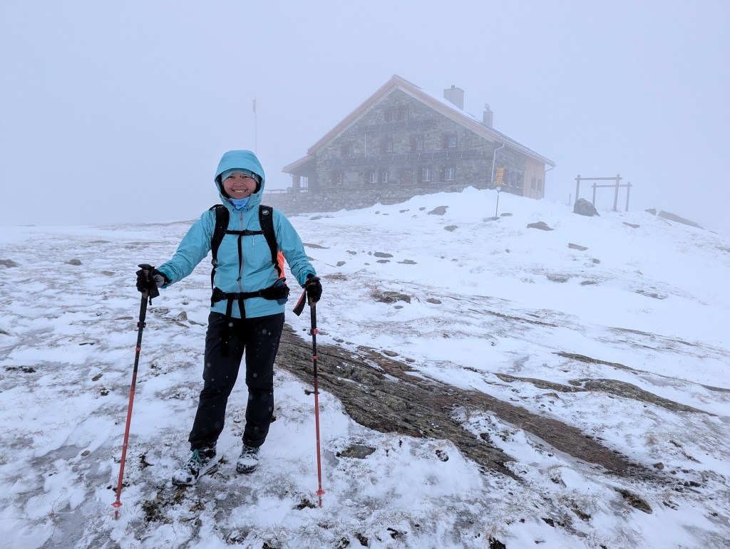
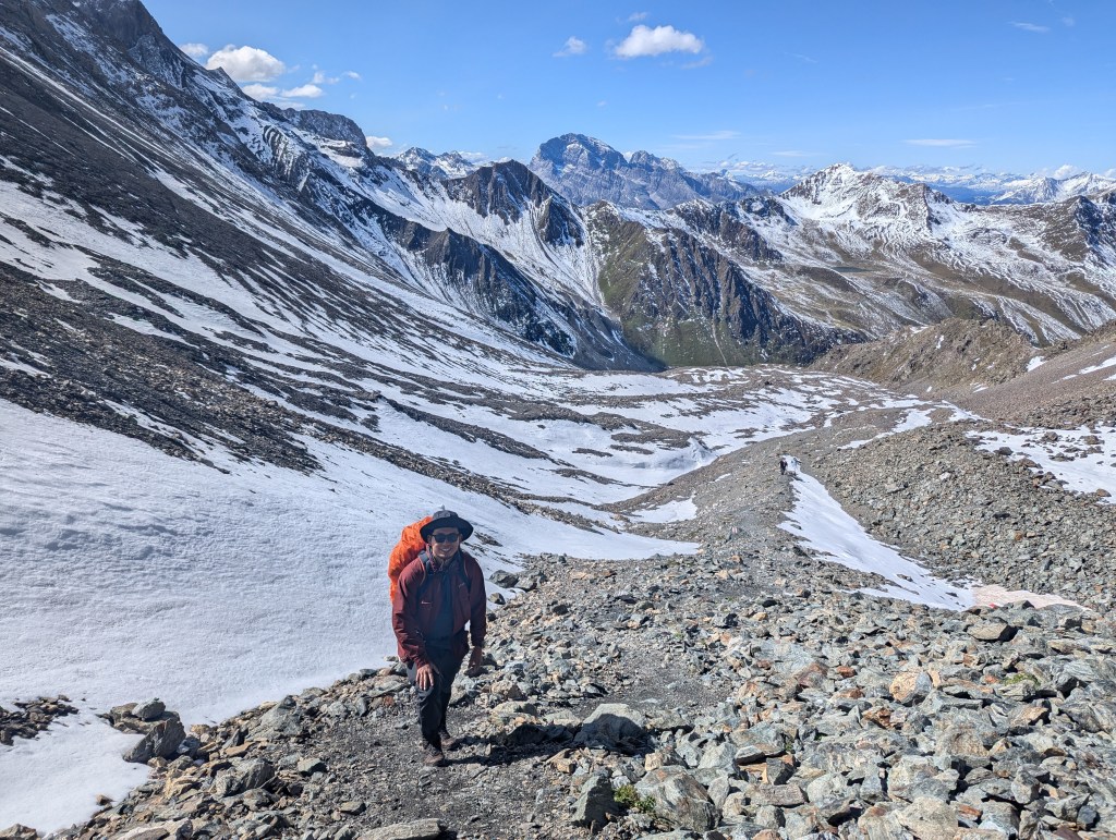
There is a long list of small things I could talk about when it comes to Basel, but for now it suffices to say that I can imagine myself spending another ten years of my life here—possibly more.